Earthquakes are one of the most destructive natural forces on our planet, capable of reshaping landscapes and affecting millions of lives in an instant. Understanding the geology behind these tremors has long been a challenge for scientists, but with advancements in geological research, we are getting closer to more accurate predictions. The study of earthquake geology focuses on the behavior of the Earth’s crust, particularly in tectonically active regions. It investigates how rocks deform, break, and slip along faults—actions that cause earthquakes.
Tectonic Plates: The Foundation of Seismic Activity
At the heart of earthquake geology lies the study of tectonic plates. The Earth’s lithosphere is divided into massive plates that float atop the semi-fluid asthenosphere beneath them. These plates are in constant motion due to the heat-driven convection currents within the mantle. While most people imagine that the plates only collide at their edges, the truth is more complex. They can diverge, converge, or slide past each other, causing varying types of stress in the Earth’s crust.
When stress along a fault line becomes too great, the rock breaks, releasing energy in the form of seismic waves. This is what we experience as an earthquake. The better we understand the movement of these tectonic plates, the more we can anticipate where strain is building up, potentially predicting when and where an earthquake might occur.
Faults: Cracks in the Earth
Geologists classify faults into three main categories: normal faults, reverse (or thrust) faults, and strike-slip faults. Each of these fault types generates earthquakes in different ways. For example, a strike-slip fault like California’s San Andreas Fault involves horizontal movement of plates past one another, while a normal fault involves vertical movement as the crust is pulled apart.
By studying the history and characteristics of these fault lines, geologists can identify which ones are most likely to rupture again. In fact, paleoseismology—a branch of geology that studies ancient earthquakes by looking at layers of sediment and rock—has been invaluable in identifying patterns of seismic activity in tectonic hotspots.
The Importance of Geodetic Measurements
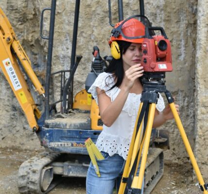
Advances in geodesy have played a crucial role in modern earthquake prediction efforts. Geodesy, the science of measuring the Earth’s shape and gravitational field, offers precise measurements of how the Earth’s crust is deforming over time. By using satellite technology, GPS, and laser-based systems, geodesists can detect minute movements in the Earth’s crust that may signal the buildup of stress along fault lines.
These geodetic measurements allow scientists to monitor the slow accumulation of strain in the crust and identify regions where the likelihood of an earthquake is increasing. When combined with geological studies, these techniques help to map areas of high risk, enabling more targeted disaster preparedness efforts.
Earthquake Prediction: A Work in Progress
Despite significant progress in geological research, predicting exactly when an earthquake will happen remains elusive. While scientists can identify areas of heightened seismic risk, pinpointing the exact time and magnitude of an earthquake is still beyond current capabilities. This is because the behavior of fault lines and tectonic plates is influenced by a vast array of factors, many of which are poorly understood or impossible to measure accurately.
However, research into earthquake precursors—signals that an earthquake may be imminent—continues. Some of these include changes in groundwater levels, sudden shifts in animal behavior, and the detection of tiny tremors known as “foreshocks” that sometimes precede larger seismic events.
Real-World Applications and Preparedness
Understanding the geology of earthquakes has practical implications beyond academia. Governments, engineers, and city planners use geological data to design earthquake-resistant infrastructure, identify evacuation routes, and develop early warning systems. For instance, Japan and California have invested heavily in such systems, which use a network of seismic sensors to detect the first signs of an earthquake and send alerts before the strongest shaking begins.
In countries with limited resources, however, the challenge is much greater. Here, geological research can play a critical role in informing public safety measures, even if precise predictions are not yet possible. Educating the public about seismic risks and ensuring that buildings are constructed to withstand potential quakes are vital components of earthquake preparedness.
The Future of Earthquake Prediction
The future of earthquake prediction lies in the continued collaboration between geologists, geodesists, engineers, and data scientists. By combining geological data with machine learning algorithms, some researchers hope to identify patterns in seismic activity that were previously invisible. Advances in artificial intelligence may help us sift through massive amounts of data to find subtle indicators of an impending earthquake.
As technology improves and our understanding of the Earth’s inner workings deepens, it is possible that one day we will be able to predict earthquakes with much greater accuracy. Until then, the role of geology in understanding and mitigating seismic risk remains indispensable.